Counter-Atlas of the Road.
A living, correctable field archive for the Invisible Borders 2026 road trip, from Marrakesh to Lagos. The map is an instrument: the road corrects it as the journey unfolds.
Re-tracing the Path of Stars
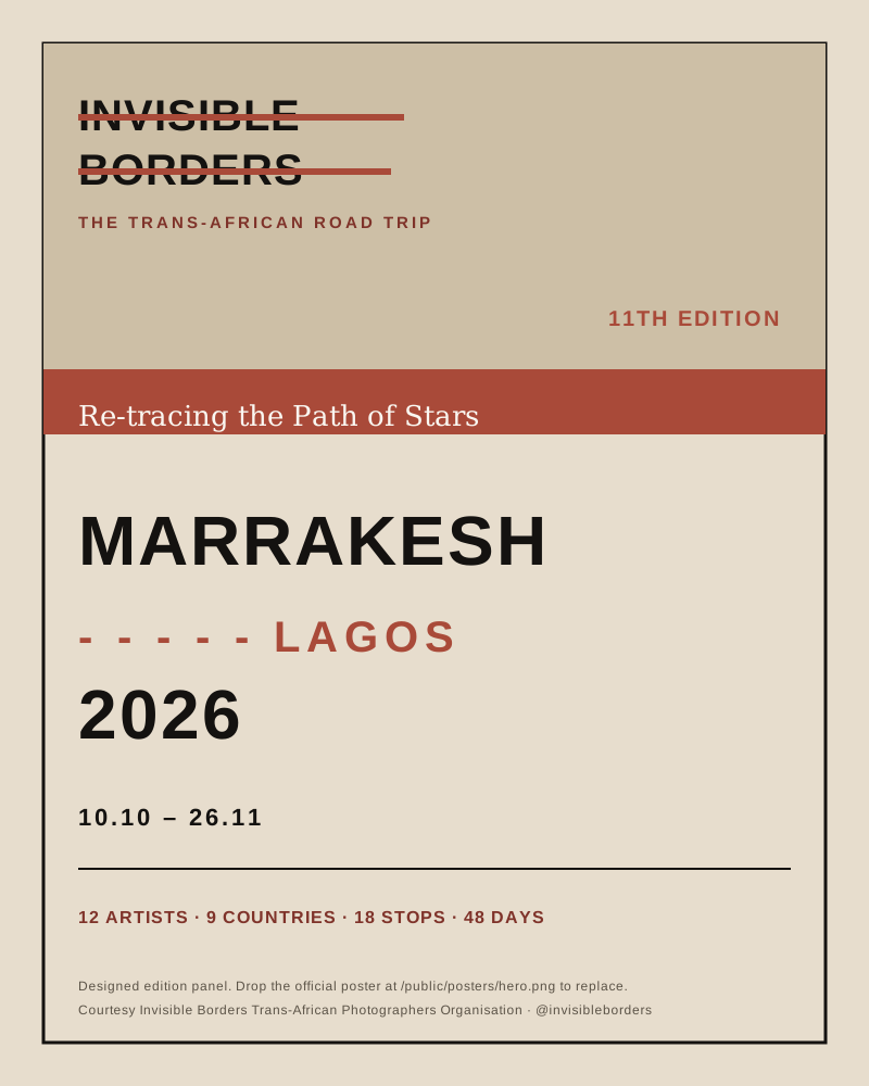
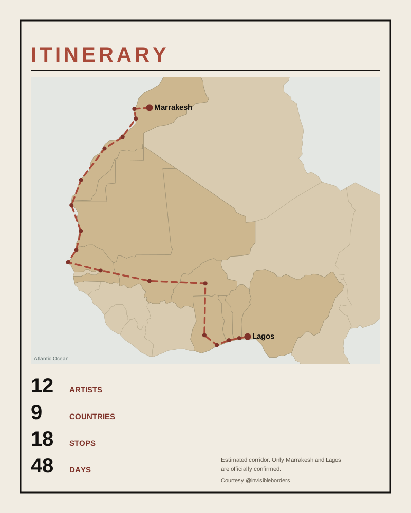
This is a trip-scale counter-cartography for the Invisible Borders Trans-African Road Trip 2026. It gathers every medium's work along the route: photographs, sound, film, writing, research and public space art. The map opens as an estimated corridor because only the two endpoints, Marrakesh and Lagos, are confirmed. Every other stop reads as provisional until the road verifies it.
Estimate first, verify later. The road should correct the map.
Official maps fix borders, names and routes from above. A counter-atlas works the other way: it stays open, collective and correctable. It holds what a single line cannot, including delay, care, language, repair, hospitality and memory, and it lets each practice add its own layer to the same shared route.
- 01Read a stop
Tap any point on the map to open its chapter, its prompts and the question it carries.
- 02Choose your lenses
Pick the practices you travel with. The selection is multi-select, so a stop's prompts adapt to the lenses you hold.
- 03Capture in the field
Record a photo, a sound, a film fragment, a written note or a work in shared space, tied to where you stood.
- 04Publish slowly
Captures stay on your device until you choose to publish a chosen fragment to the shared map.
Everything you capture is private and stays on this device. Nobody else can see it, and nothing leaves until you decide.
When consent and context are clear, you publish a chosen fragment to the shared map for everyone travelling the route.
Choose one or several. Each lens gives a stop its own field guidance.
Still images of place, labour, threshold, light and infrastructure.
Field notes, essays, poems and dispatches written from the road.
Short video, moving image and sound-led sequences.
Counter-maps, archives, interviews and documentary traces.
Graffiti, murals, interventions and works made in shared space.
Hybrid and cross-medium practices that combine the registers.
- Morning: route note, research question, consent reminder.
- During travel: photo, sound, film fragment, short observation.
- At stops: walking transect, counter-map sketch, public space work, care note.
- Evening: daily blog fragment, selected image, sound note and map annotation, published only when ready.