Atlas of photographs
and field recordings.
A source-aware seed layer sequenced by route chapter. Wikimedia images are contextual placeholders – not evidence from the road. Field recordings are marked pending until captured on the journey.
Marrakesh
MoroccoDeparture begins inside a living city. The first question is what kind of guest the archive becomes before the road starts moving.
Provocation → What kind of guest does the archive become when it begins in Marrakesh?
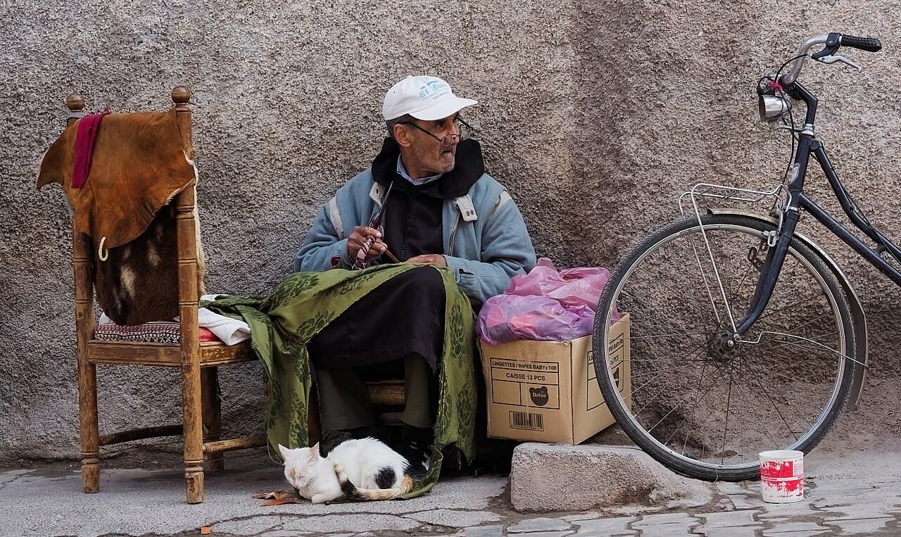
Departure ambience, Marrakesh
Record a sound that tells us how departure feels before the vehicle moves. Market texture, threshold, preparation or the quiet before the road.
recording pending · captured on the road Oct–Nov 2026
field prompts for this chapter
photo prompt
Photograph a threshold in the medina: a tannery, a doorway, a loaded handcart. Do not turn Marrakesh into ornament.
counter-map prompt
Add one layer the road line cannot hold: delay, debt, care, heat, language, fuel, water, repair, hospitality, memory or uncertainty.
care note
Keep names, faces and voices private unless consent, context and a reason to publish are all clear.
Atlantic and Sahara threshold
Morocco · Mauritania · SenegalOcean, desert road, fish ports, checkpoints, fuel and border time sit close together. Movement here is never only movement.
Provocation → What does the wind here make audible that the image cannot show?

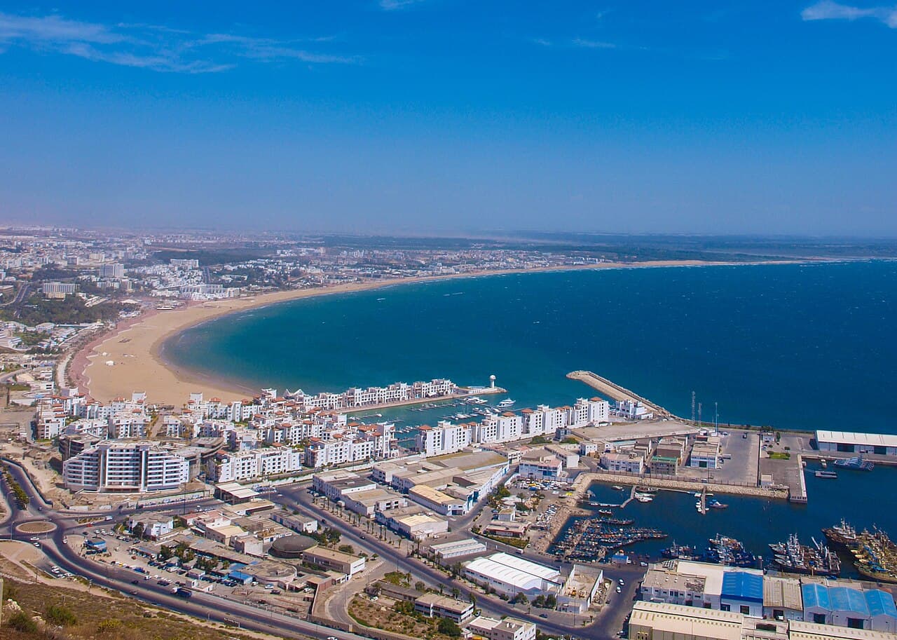
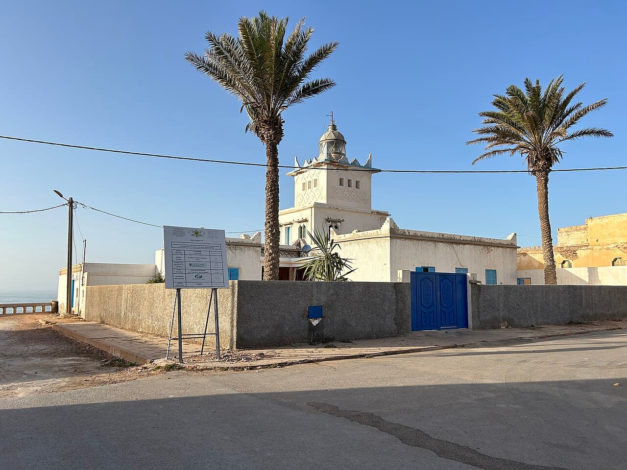
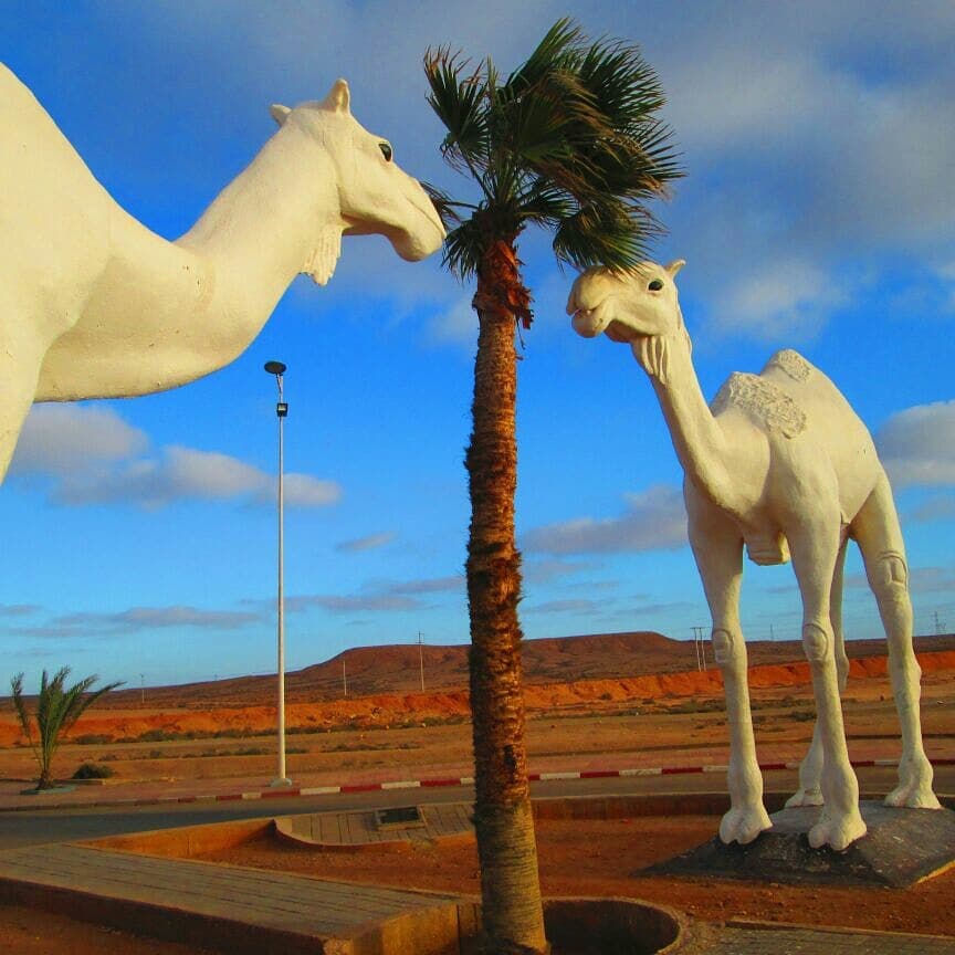
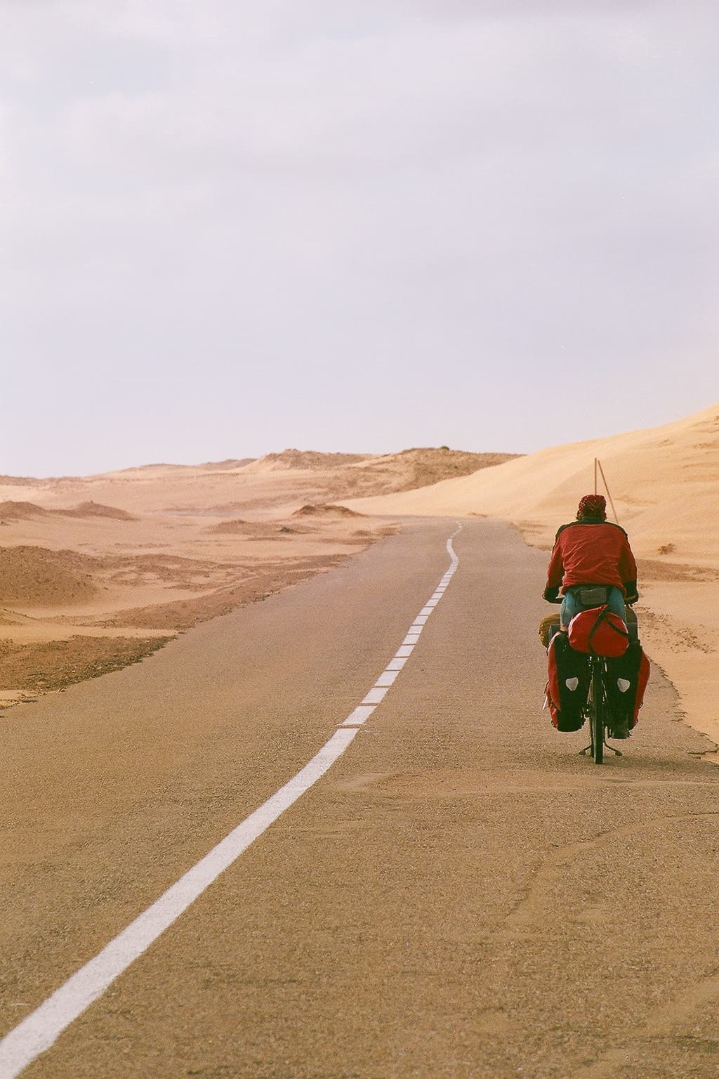
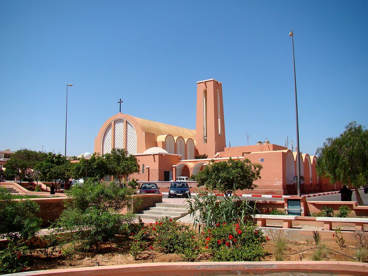
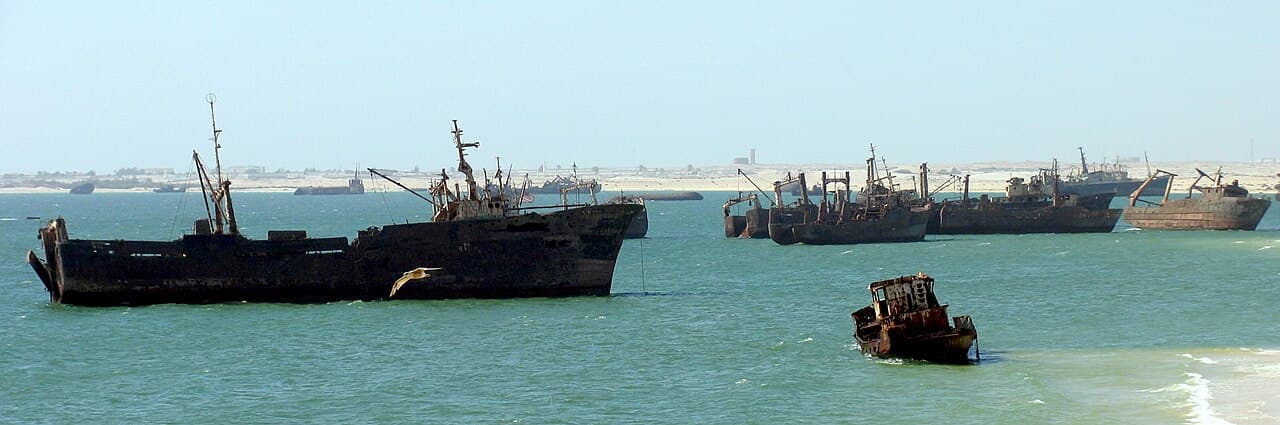
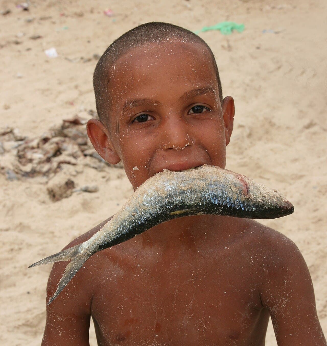

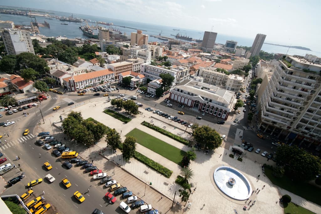
Wind, road and waiting, Atlantic Sahara
Record wind, engine idle, border waiting, water, footsteps, repair or the silence after a long stretch of movement.
recording pending · captured on the road Oct–Nov 2026
field prompts for this chapter
photo prompt
Photograph the ramparts, the fishing port or the drying nets where the town meets the wind.
counter-map prompt
Add one layer the road line cannot hold: delay, debt, care, heat, language, fuel, water, repair, hospitality, memory or uncertainty.
care note
Keep names, faces and voices private unless consent, context and a reason to publish are all clear.
Sahel interior
Senegal · Mali · Burkina Faso · GhanaThe inland turn holds language shifts, bus stations, repair economies, night stops and the discomfort of travelling through places too quickly to claim understanding.
Provocation → What does a rebuilt city remember, and what does the new plan forget?
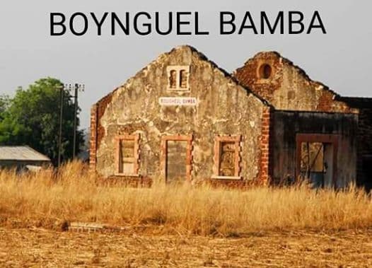
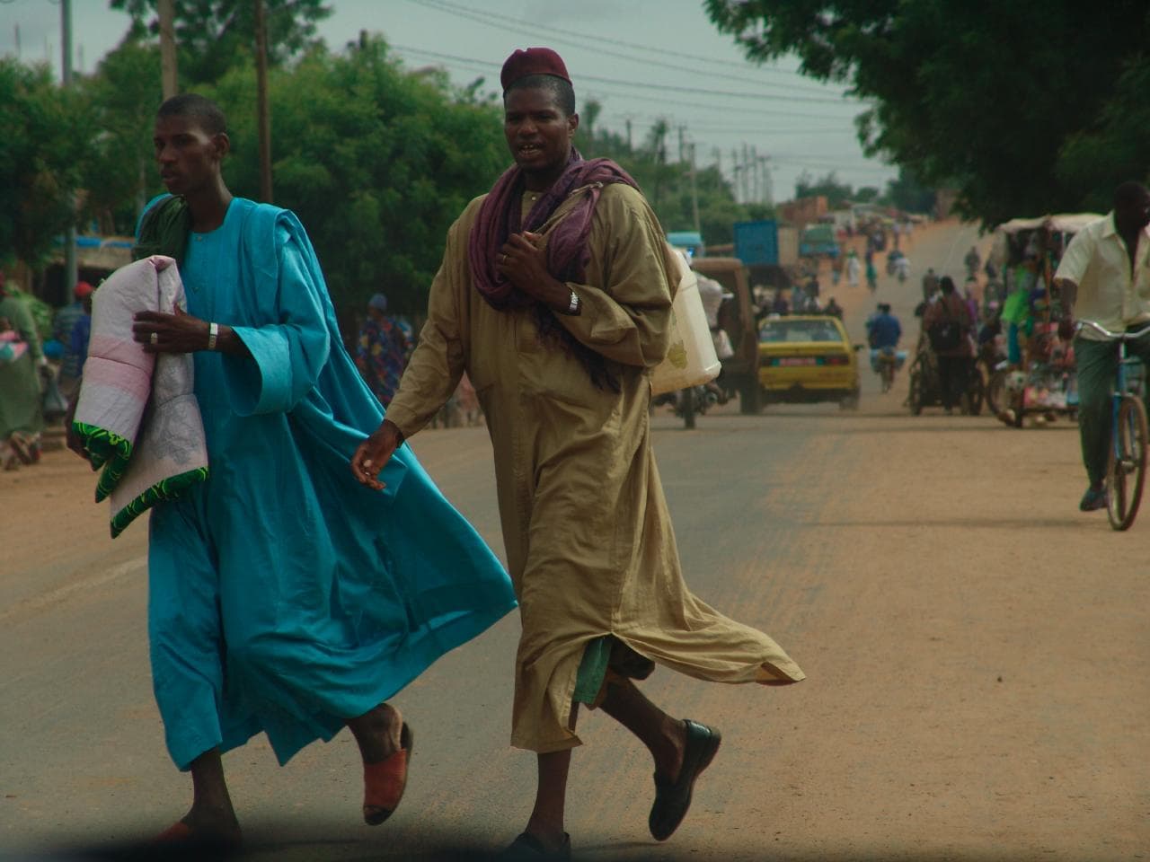
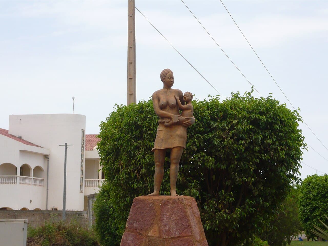
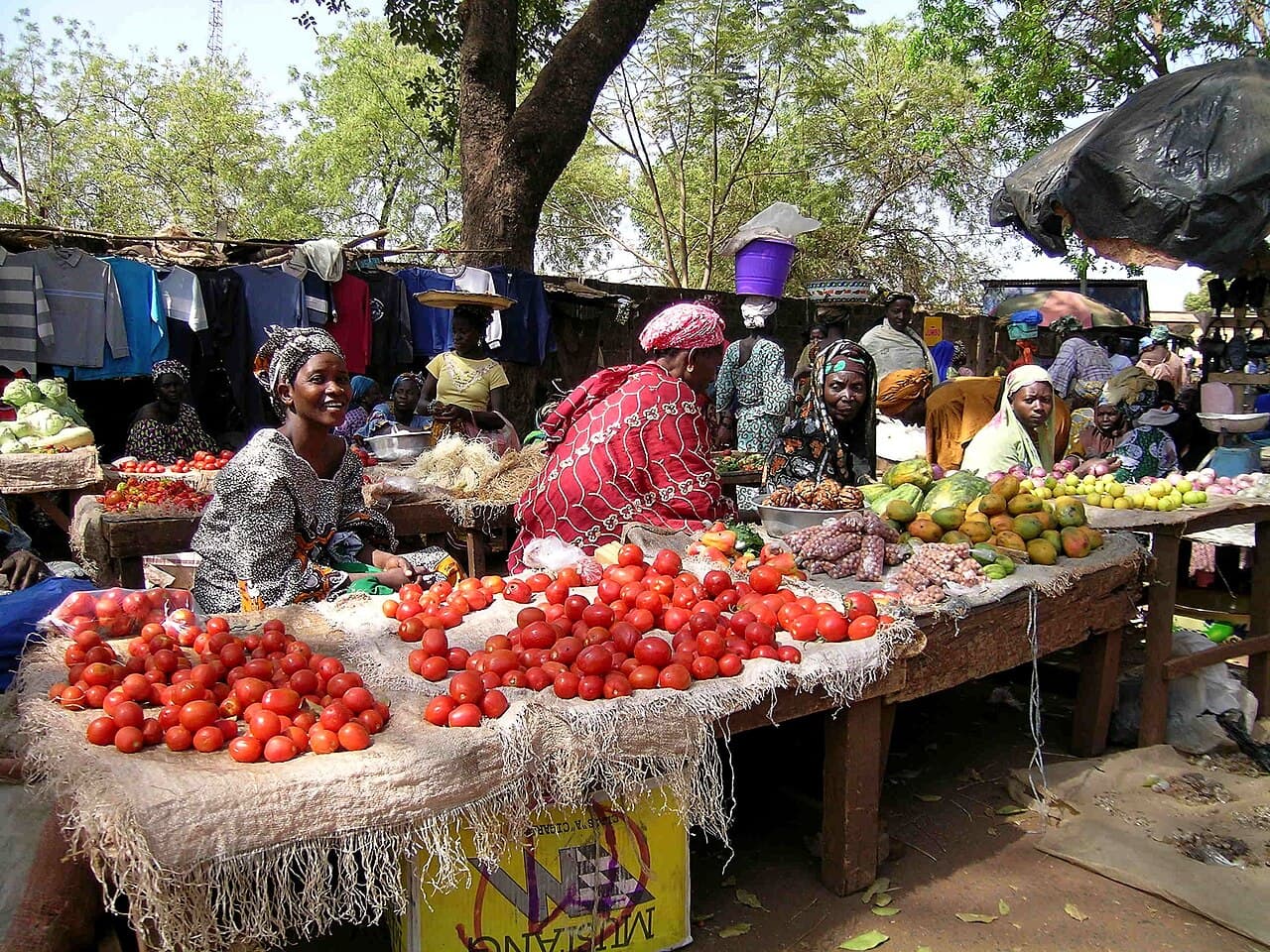
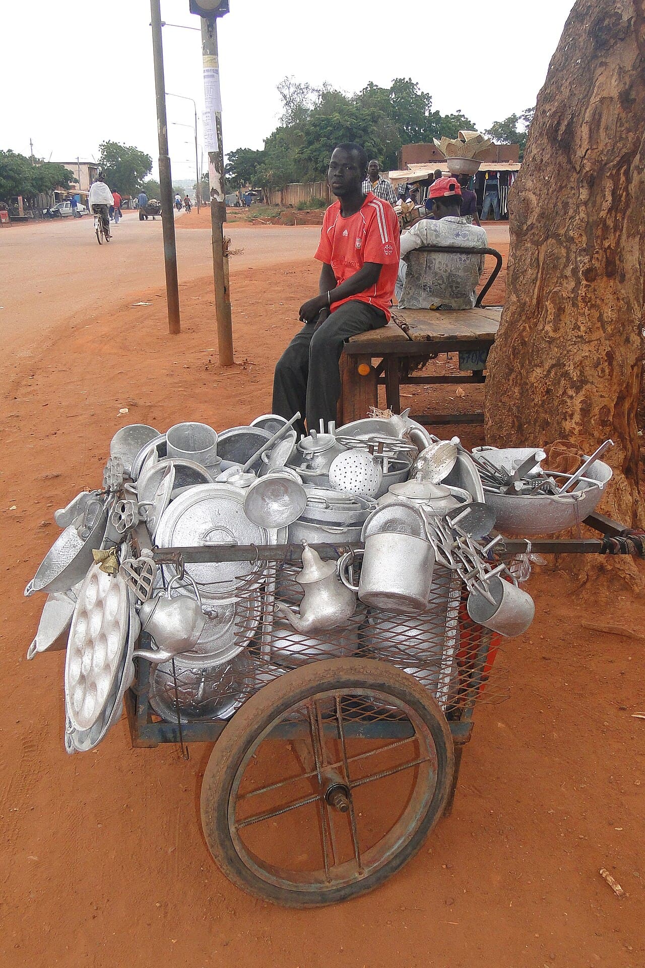
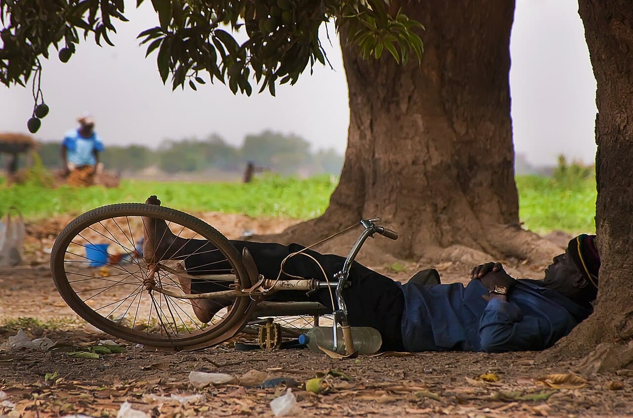
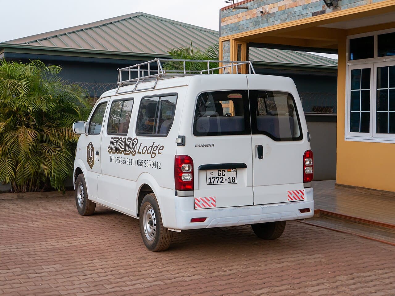
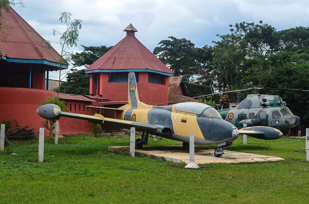
Station and market pause, inland route
Record a pause rather than a drive-by: station, market edge, shade, repair, conversation texture or road dust.
recording pending · captured on the road Oct–Nov 2026
field prompts for this chapter
photo prompt
Photograph the junction town: the old Dakar-Niger railway, the lorry park, the shade structures.
counter-map prompt
Add one layer the road line cannot hold: delay, debt, care, heat, language, fuel, water, repair, hospitality, memory or uncertainty.
care note
Keep names, faces and voices private unless consent, context and a reason to publish are all clear.
Gulf of Guinea crossings
Ghana · Togo · Benin · NigeriaAccra, Lomé, Cotonou, Porto-Novo and Badagry form a dense coastal sequence of ports, markets, currencies, languages and memory.
Provocation → What changes in the body when the coast becomes the desert?
no seed images for this chapter · photographs to be gathered on the road
Crossing rhythm, Gulf of Guinea corridor
Record the crossing as a relation: port, coast, market, traffic, language shift, waiting room or border rhythm.
recording pending · captured on the road Oct–Nov 2026
field prompts for this chapter
photo prompt
Photograph layered coastal infrastructure: the Jamestown lighthouse, the fishing harbour, the road against the Atlantic.
counter-map prompt
Add one layer the road line cannot hold: delay, debt, care, heat, language, fuel, water, repair, hospitality, memory or uncertainty.
care note
Keep names, faces and voices private unless consent, context and a reason to publish are all clear.
Lagos
NigeriaArrival in Lagos is an edit, not a closure. The final task is editorial and ethical: what should be public, what needs consent, what must be corrected.
Provocation → What can be documented here without speaking for anyone?
no seed images for this chapter · photographs to be gathered on the road
Assembly and arrival, Lagos
Record arrival as assembly: voices in edit, room tone, street pressure, lagoon air, traffic, rehearsal or refusal.
recording pending · captured on the road Oct–Nov 2026
field prompts for this chapter
photo prompt
Photograph the archive becoming public: contact sheets, edits, gaps, installation fragments, the city pressing against arrival.
counter-map prompt
Add one layer the road line cannot hold: delay, debt, care, heat, language, fuel, water, repair, hospitality, memory or uncertainty.
care note
Keep names, faces and voices private unless consent, context and a reason to publish are all clear.